News

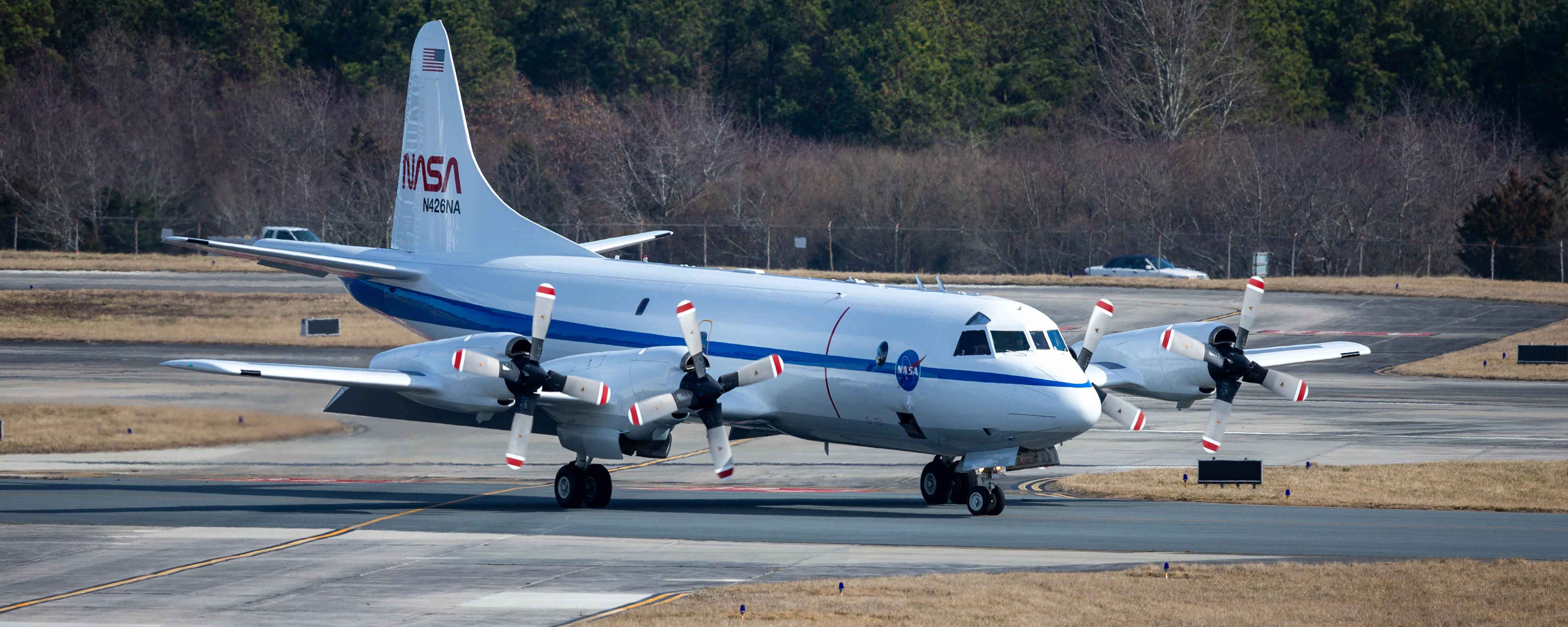
The P-3 research plane leaving its hangar at NASA's Wallops Flight Facility in Virginia. Patrick Black/NASA

Scientists are flying into snowstorms to explore winter weather...

High up in some ice-filled clouds, sitting inside an airplane loaded with science instruments, Christian Nairy looked at pictures flashing on his comp...

Read More
Women served as the first computers for NASA Armstrong as shown in this photo from 1949. Hired due to their math degrees or teaching backgrounds, they took raw data from various aircraft manually. They began with film traces, and generated pages and pages of numbers, then graphed them for the engineers to use. Over the next 15 years, they were gradually replaced with electronic computers. Credits: NASA Armstrong

NASA Armstrong Showcases Women in Aviation

NASA’s Armstrong Flight Research Center has a long history with employing women in aviation careers and empowering these women to reach for the sky,...

Read More

BioSCape ARSET Webinar - Biodiversity Applications for Airborne...

We are thrilled to announce that registration for NASA's Applied Remote Sensing Training Program (ARSET) is now live! This course is designed to help ...

Read More
The pilots navigate the plane along the flight path as the sun begins to set for the day. Credit: Erica McNamee

A Nervous Flier’s Guide to Riding the Snowy Skies

I grew up flying in planes. I’m comfortable in them. But there’s one part of flying I’ve never gotten used to: turbulence. It’s common on comm...

Read More
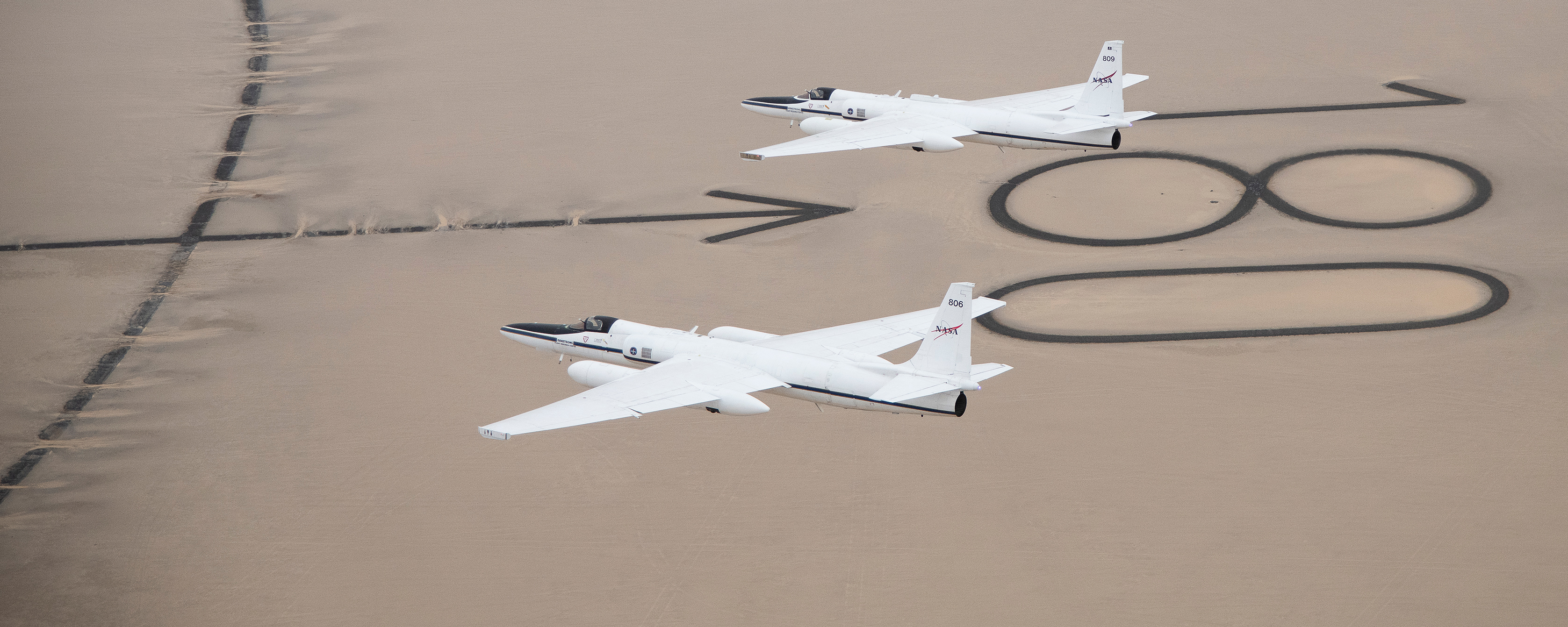
NASA operates two Airborne Science ER-2 aircraft for a wide variety of environmental science, atmospheric sampling, and satellite data verification missions. (Carla Thomas/NASA).

How a Cold War spy plane went from watching the Soviets to...

Located just north of Atlanta, Georgia, Dobbins Air Reserve Base is usually home to C-130 transport planes. But for the next few weeks, the base will ...

Read More
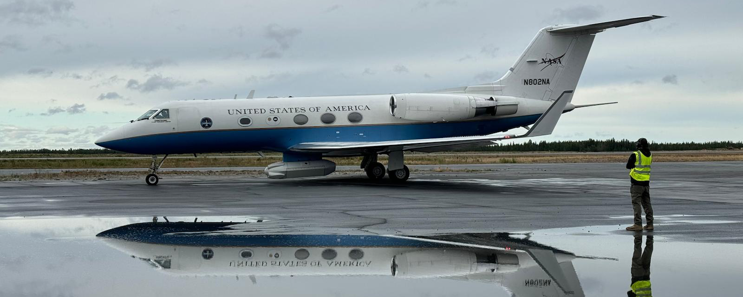
A team of pilots, operations engineers, instrument scientists and maintenance crews deployed to Kona, Hawaii in December in support of NASA’s C-20A rapid response mission to map lava flows of the Mauna Loa volcanic eruption.

NASA’s C-20A deploys to Hawaii Following Volcanic Eruption

Following the eruption of the world’s largest active volcano, Mauna Loa, NASA Armstrong Flight Research Center deployed its C-20A aircraft to Kona, ...

Read More
A photo of Joseph. Credit: Courtesy of Joseph D’Addezio

Cloudy with a Chance for Whirlpools: Ocean Models Guide NASA’s S...

NASA’s S-MODE mission faces quite the challenge: robustly observe, for the first time, ocean features spanning up to about 6.2 miles (10 kilometers)...

Read More

About the Airborne Science Program


The Airborne Science Program within the Earth Science Division is responsible for providing aircraft systems that further science and advance the use of satellite data. The primary objectives of this program are to:

  • Satellite Calibration and Validation
    Provide platforms to enable essential calibration measurements for the Earth observing satellites, and the validation of data retrieval algorithms.
  • Support New Sensor Development
    Provide sub-orbital flight opportunities to test and refine new instrument technologies/algorithms, and reduce risk prior to committing sensors for launch into space.
  • Process Studies
    Obtain high-resolution temporal and spatial measurements of complex local processes, which can be coupled to global satellite observations for a better understanding of the complete Earth system.
  • Develop the Next-Generation of Scientists and Engineers
    Foster the development of our future workforce with the hands-on involvement of graduate students, and young scientists/engineers in all aspects of ongoing Earth science investigations.

To meet these observing objectives ASP maintains and operates a suite of sustained, ongoing platforms and sensors on which investigators can rely from year to year. From these known capabilities the Science Mission Directorate can develop observing strategies. However, an ongoing capability will be resource-constrained and eventually technology-constrained, so that not all observing requirements will be met with the limited core capability. Therefore the program facilitates access to other platforms or sensors on a funds-available, as-needed basis, to accommodate unique and/or occasional requirements. The Program also looks for new or evolving technologies to demonstrate their applicability for Earth science. Depending on the success of the demonstrations and the observing needs, the core capability is expected to evolve and change over time. The speed and extent of change will be balanced against the need for established, known capabilities for long-term planning.