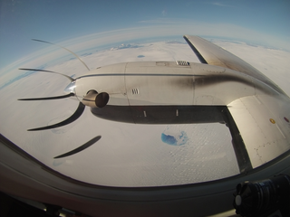
Greenland Campaign Takes Flight for Better Ice Sheet Measurements
A NASA instrument nestled in the belly of a small plane flew over Greenland’s ice sheet and the Arctic Ocean’s icy waters. Flying above creviced glaciers, chunks of ice floating in melt ponds, and the slushy edges of the ice sheets, the instrument used a rapidly firing laser to measure the elevation of the surface below.

Mission:
