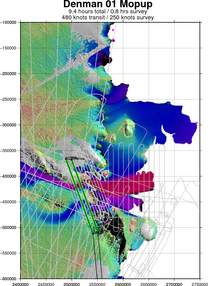
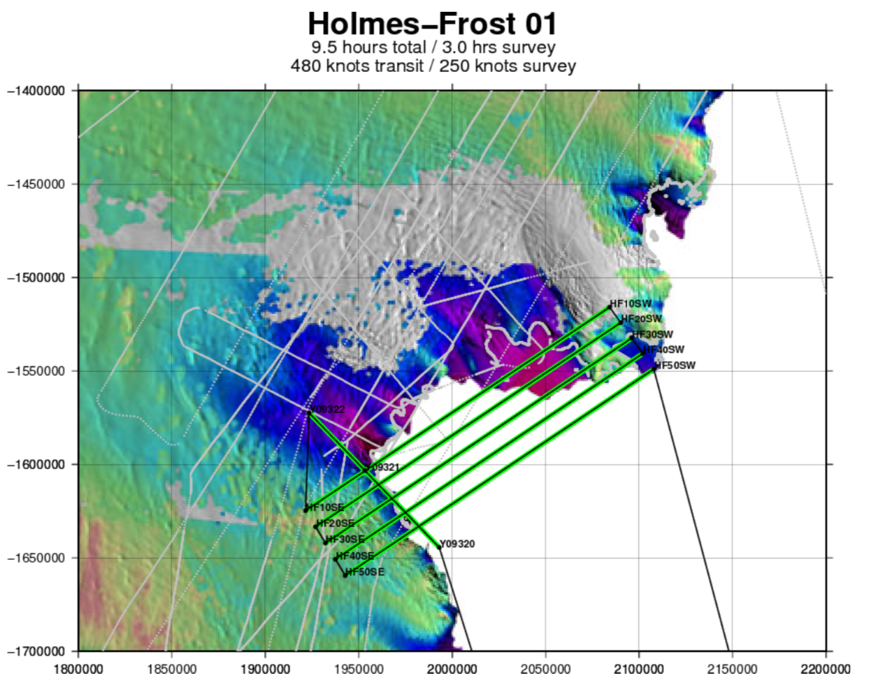
Screen capture of ATM's "SOXMap" navigation display, as we entered our sixth and final survey line, illustrating how today's elongated "racetrack" pattern combines six separate ATM T-6 swaths (in green) to form two much wider composite swaths, centered on
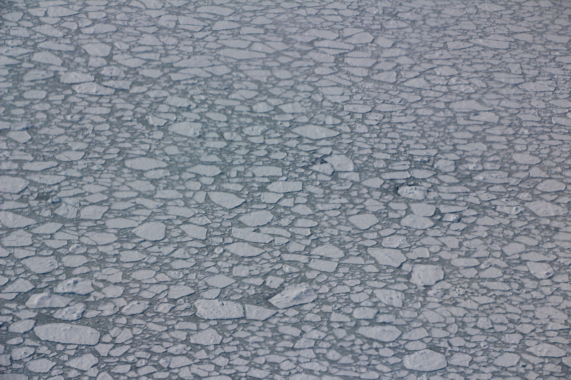
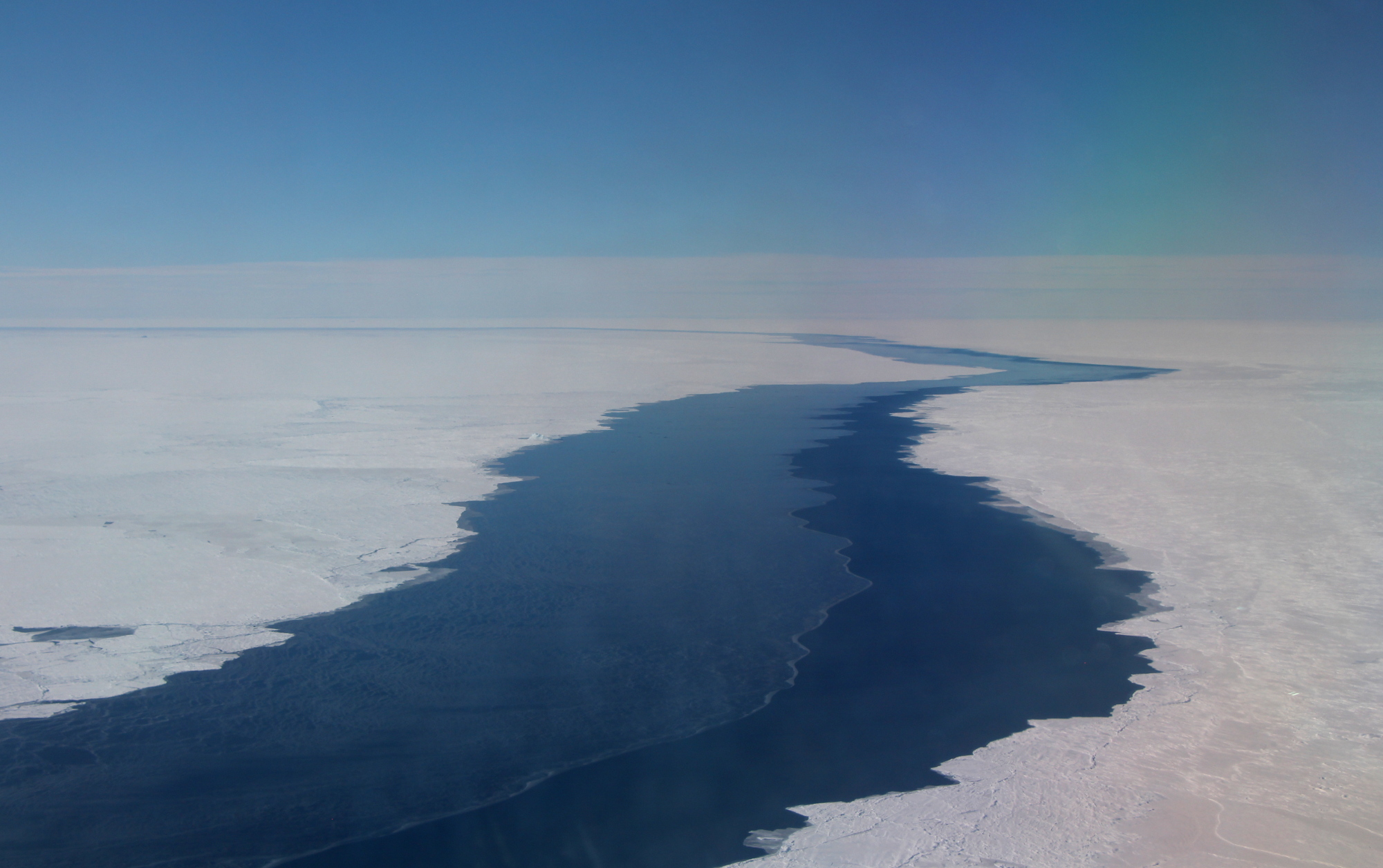
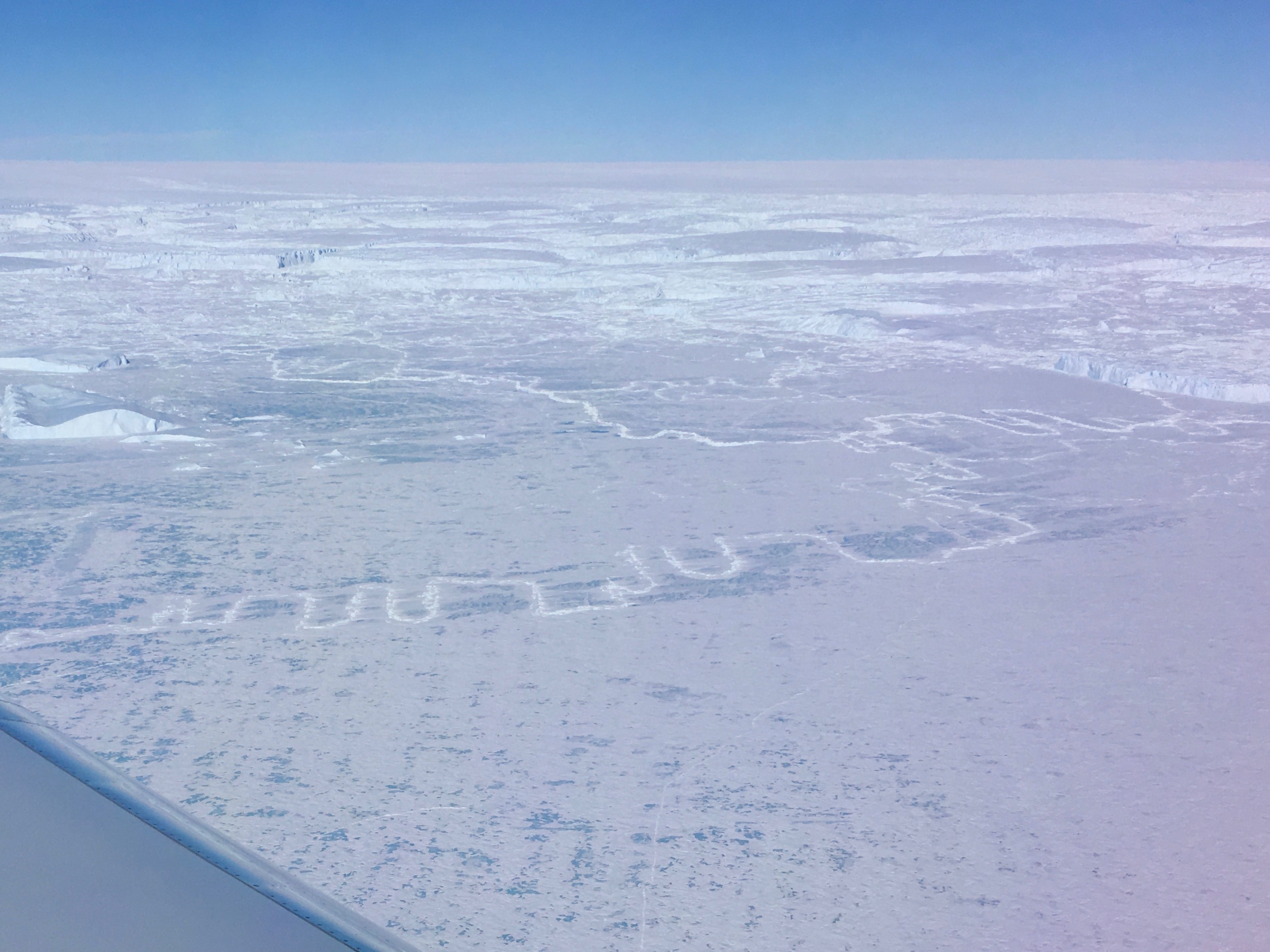
Ice edge, and icebergs frozen in sea ice, on the east side of Porpoise Bay; we believe the blue ice areas corresponded to what is usually the lee side of the ice edge and icebergs, given the predominant katabatic winds in this area