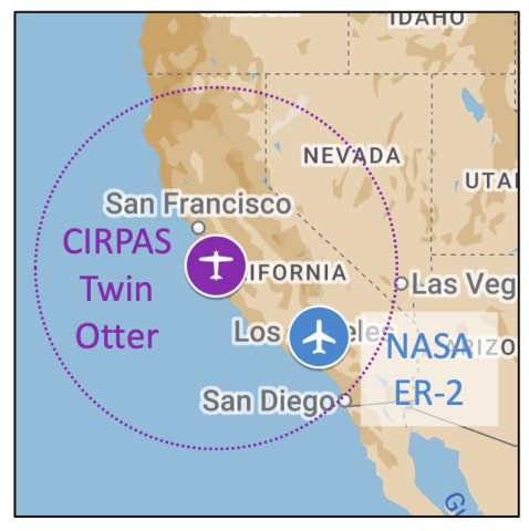
PACE-PAX operational area in southern and central California. The ER-2 is based in southern california, the CIRPAS Twin Otter in coastal central california. A 500nm range circle is drawn around the Twin Otter base; range for the ER-2 extends beyond the limits of the map
Subject
Mission

