Skip to main content
Log in
Search
ACEPWG
Ames Earth Science
Airborne Science
Atmospheric Science
Biospheric Science
ACEPWG Home
ACEPOL/LIREX field campaign
Logistics
Forecasting
Science
Airborne Polarimeters
AirMSPI
AirHARP/PACS
RSP
AirSPEX
Data, Calibration and Algorithms
Field Campaign Data
PODEX
SEAC4RS
HyspIRI
Calibration
Uncertainty
Intercomparisons
Level 1 intercomparison
Level 2 intercomparison
Additional Material
Presentations
References
Contact information
Breadcrumb
Home
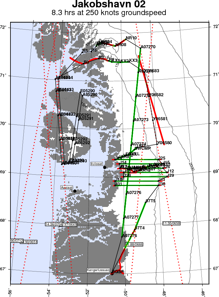
Map of Jakobshavn 02 (augmented)
Map of today's flight.
Credits
John Sonntag / NASA
Subject
Other
Mission
OIB