POlarimeter DEfinition EXperiment (PODEX)
The PODEX field campaign was intended to support ACE mission polarimeter activities. For the first time, all three polarimeters were mounted together on the NASA ER-2 high altitude aircraft, along with other instrumentation. Flights were performed between January 14 and February 6, 2013, and were based at NASA Armstrong Flight Research Center (then Dryden Flight Research Center) in Palmdale, California. Many PODEX flights were coordinated with flights from the Deriving Information on Surface conditions from Column and Vertically Resolved Observations Relevant to Air Quality (DISCOVER-AQ) field campaign, operating simultaneously in the San Joaquin Valley in California.
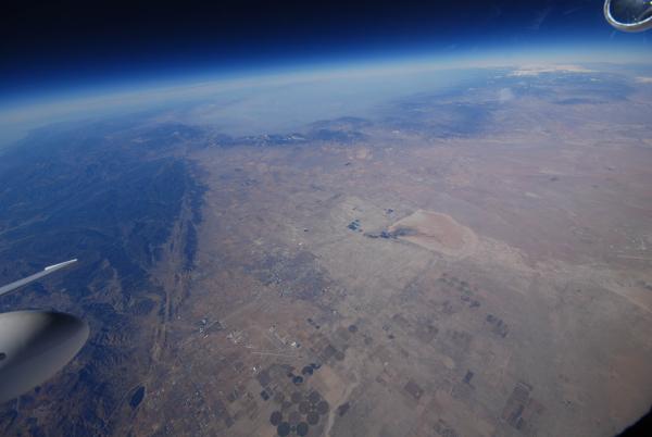
Image: Pilot photograph from the ER-2 aircraft of Antelope Valley in California taken during PODEX.
- Data archived at DISCOVER-AQ site (RSP, aircraft navigation, Autonomous Modular Sensor (AMS), and Cloud Physics Lidar (CPL))
- Data at the NASA Langley Atmospheric Science Data Center (AirMSPI)
- Article from the NASA Earth Science News Team
- Scorecard of flight objectives/goals (courtesy of Matteo Ottaviani)
- ER-2 Aircraft encounters with ground sites (from RSP team)
- ER-2 encounters with other aircraft (from RSP team)
- Level 1 (observed Reflectances and Degree of Linear Polarization, DoLP) polarimeter intercomparison
- Level 2 (retrieved product) polarimeter intercomparison
PODEX data have been the primary focus of both Level 1 and Level 2 intercomparisons, as this is the only campaign where all three polarimeters were deployed simultaneously.


