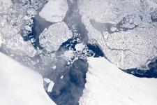
Operation IceBridge is flying in Greenland to measure how much ice has melted over the course of the summer from the ice sheet. The flights, which began on Aug. 25 and will go on until Sept. 21, repeat paths flown this spring and aim to monitor seasonal changes in the elevation of the ice sheet.
Mission

