
Ebola: Zaire TM Classification

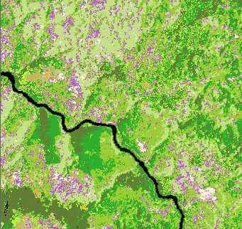
A SPOT multispectral and Landsat TM image of the Kikwit area were each
processed to derive landcover classes based on spectral characteristics. The
above image shows the Landsat TM landcover classes. Similar to the
TM image,
the shades of green represent different amounts of vegetative cover, and
the purples represent those areas which are relatively clear.
 Back to
CHAART CDC Ebola
page
Back to
CHAART CDC Ebola
page
Last updated: 5 May 1999